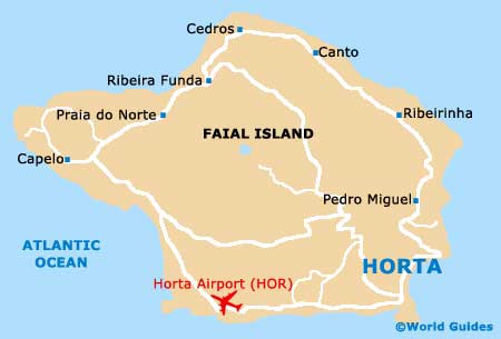
Horta Airport (HOR)
Orientation and Maps
(Horta, Portugal)
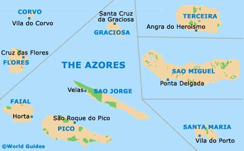
Part of Portugal's famed Azorzes islands, Horta lies on the Faial Island, where it is the main town, with a population of more than 15,000. Lying to the west of the Pico Island, the Faial Island (Fayal in English) is part of the Central Group of the Azores, together with Graciosa, Sao Jorge and Terceira. Horta Airport (HOR) is located on the south-eastern side of the island, being close to the town of Horta itself.
The Pico Island is so close that it can be seen from Horta, and on a clear day, it is also possible to see Sao Jorge. Horta is also known for its superb ocean views, which are particularly impressive from the Ponte de Espalamaca.
Horta Airport (HOR) Maps: Important City Districts
Within Horta you will find a number of different parishes, with the largest neighbourhoods including Angústias, Castelo Branco, Cedros, Conceiçao, Feteira, Flamengos and Matriz.
Horta is very much central to life on the island and is easy to reach, being connected to the whole island by an encircling road. A number of river valleys line this route, dividing the main communities. The southern shore is particularly appealing, with a scenic bay and dark cliffs, with the Varadouro area being especially popular. Inland, you will find small mountains and remnants of volcanic activity, alongside lakes, wooded areas and small villages.
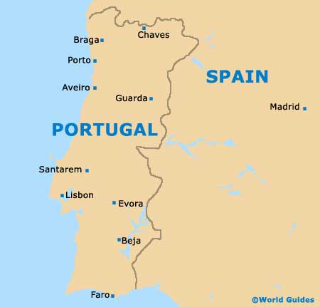
Portugal Map
Azores Map
Faial Island Map